Mapping Demo
This page is a small demonstration of javascript-based mapping. It was originally inspired by the O'Reilly "Mapping Hacks" book by Schuyler, et al. The purpose is to portray locations of interest upon a map interactively, and allow the sharing of this information with others.
Instructions
The map should be fairly easy to use. To view the latitude/longitude or other information for a point of interest, simply roll over the point with your mouse cursor. To add a new point, just double-click anywhere on the map. To save the map information, scroll down to the bottom of the page and select "Export Data". To load map information, scroll down to the bottom of the page, paste your saved map data into the box, and select "Import Data".
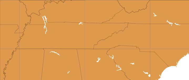
About the Map
The map below was generated with the Generic Mapping Tools using the following command:
pscoast -R-91.5/-77/33/38 -JM10i -B5g5 -G180/120/60 -Na -Di > map.ps
Jon Fuller 2005/09/28